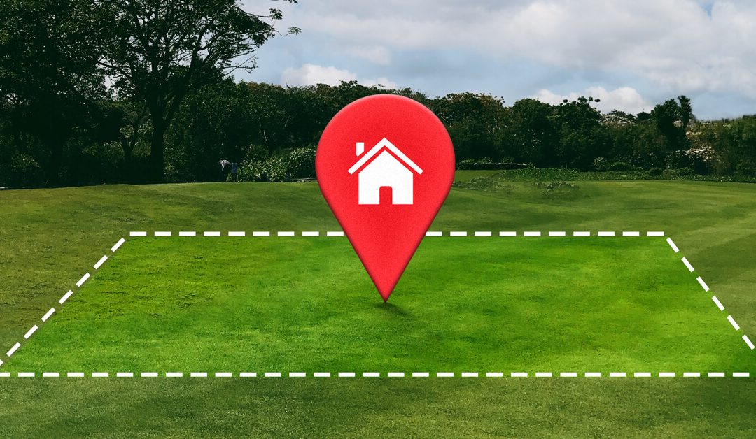
Land is one of the most valuable investments you can make in Kenya. Whether you are buying, selling, subdividing, or developing property, one critical step should never be ignored: professional land surveying. Skipping this process can lead to boundary disputes, legal battles, financial losses, and stalled projects.
Land surveying is not just a formality—it is your first line of protection against costly mistakes.
What Is Land Surveying?
Land surveying is the professional process of measuring and mapping land to determine its exact boundaries, size, position, and physical features. Survey results are used for:
Land title processing and verification
Development planning and approvals
Subdivision and amalgamation of land
Construction setting-out
Resolving boundary disputes
In short, surveying ensures you know exactly what you own, where it starts, and where it ends.
The Legal Framework for Land Surveying in Kenya
In Kenya, land surveying is governed by the Survey Act (Cap. 299) and regulated by the Land Surveyors’ Board. This means:
Only licensed and experienced land surveyors are allowed to carry out legal land surveys
Survey work is mandatory for title changes, subdivisions, and certain developments
Official survey plans are required for registration and approvals
Working with a licensed and experienced surveyor ensures your survey is legally recognized, accurate, and defensible in case of disputes.
At GeoSurf Surveys, we combine experience, modern equipment, and professional expertise to deliver accurate, reliable, and legally compliant survey results. Our work is designed to protect your investment and give you confidence in every land transaction.
We believe in one simple principle: Never buy, sell, or develop land blindly. Survey it first.
Contact GeoSurf Surveys
If you are planning to buy, sell, subdivide, or develop land, talk to a professional first.
Buying land in Kenya is an exciting milestone, but it can also be risky if you skip land due diligence. Every year, many buyers lose money to misplaced plots, encroached boundaries, fake title deeds, road reserve land, and parcels that are smaller than advertised.
To protect yourself, always verify the land before you commit.
Why Land Verification in Kenya Is Important
Many parcels that appear genuine often have hidden issues such as:
Wrong map coordinates
Boundary encroachment
Discrepancies between the map and the ground
Land sitting on riparian or road reserves
Incomplete or fraudulent title deed documentation
The only way to know the truth is through proper land surveying, title deed verification, and due diligence checks.
What to Confirm Before Buying Land
Before you make any payment, ensure you check:
Title deed status (through an official land search)
RIM maps / survey maps
Exact boundary position
Land size confirmation on the ground
Coordinates and beacons
Any restrictions, caveats, or government reservations
It is always cheaper to verify now than to lose money later.
Work With a Licensed Surveyor in Kenya
Kenya’s land market can be complicated. Working with a professional land surveyor in Kenya ensures the land you are purchasing is:
Real
Legally owned
Accurately measured
Properly placed on the ground
Free from encroachment or legal disputes
This simple step can save you from making a very expensive mistake.
Need Professional Land Surveying in Kenya?
We ensure the land you’re buying is real, legal, and exactly where it should be. For professional and quality surveying services in Kenya, contact us at: 0726 999 306
In Kenya’s booming property market, acquiring land is one of the most significant investments you’ll ever make. Yet, every week, countless stories emerge of fraudulent title deeds, boundary disputes, and properties unknowingly built on public land. The allure of saving a small fee by skipping a proper land surveying step is a false economy—it’s an invitation to financial ruin and years of legal battles.
The reality is that engaging a Licensed Surveyor in Kenya is not an expense; it is mandatory insurance for your entire investment. At GeoSurf Surveys Ltd, we believe in equipping every developer, architect, and homeowner with the precise, legally compliant data they need to build with confidence.
Here are the critical, hidden costs you incur when you skip professional land surveying:
The Financial Cost of Ignorance: Disputes and Demolitions
The immediate saving you make by avoiding a professional survey is tiny compared to the catastrophic financial risk you assume.
1. Costly Boundary Litigation
Land disputes are a rampant issue across Kenya. Without an official Boundary Survey done by a registered professional, your property limits are merely assumptions. When you encroach on a neighbor’s plot or a public utility reserve, you face immediate legal action.
The Cost: Lawyer fees, court time, and the possible financial penalty of compensating the opposing party or losing a portion of your land.
2. Regulatory Fines and Demolition Orders
County governments and the Ministry of Lands and Physical Planning require official survey plans—including Topographical Surveys and Cadastral Surveys—for all development approvals. Building without compliant plans means you risk receiving a stop order or, worse, a demolition notice.
The Cost: Loss of construction materials, wasted labor, massive fines, and the complete destruction of your investment.
3. Devaluation of an Unsurveyed Property
A property with unresolved boundaries or an unverified title is a massive liability. No serious investor or bank will touch land with questionable ownership or dimensions.
The Cost: The land is nearly impossible to sell or use as collateral for financing, severely limiting its market value.
The Legal Cost of Negligence: Title Deed Verification and Fraud
The biggest threat in Kenyan land transactions is outright land fraud. A surveyor’s due diligence goes far beyond measuring land; it authenticates the legality of the asset.
Verifying the Title vs. Verifying the Land
Many buyers rely solely on title searches at the land registry. However, a title search only confirms that the document is valid, not that the physical land being shown to you actually corresponds to that document.
A Licensed Surveyor performs Title Deed Verification by physically locating the property’s beacons using coordinates from the Directorate of Surveys.
The Surveyor Confirms:
The physical location matches the details on the title deed.
The parcel exists and is not a “decoy” used by unscrupulous sellers.
There are no pre-existing Wayleaves (legal rights for utilities like pipelines or power lines) or restrictions that limit your intended use of the property.
The GeoSurf Advantage: Accuracy, Compliance, and Peace of Mind
At GeoSurf Surveys Ltd, we are not just mark-makers; we are a leading Land Surveying company in Kenya dedicated to precision and client protection. We replace assumptions with verifiable, legal facts, ensuring your project starts on a solid foundation.
Stop Land Fraud Before It Starts: The Surveyor as Your First Line of Defense
In Kenya’s booming property market, acquiring land is one of the most significant investments you’ll ever make. Yet, every week, countless stories emerge of fraudulent title deeds, boundary disputes, and properties unknowingly built on public land. The allure of saving a small fee by skipping a proper land surveying step is a false economy—it’s an invitation to financial ruin and years of legal battles.
The reality is that engaging a Licensed Surveyor in Kenya is not an expense; it is mandatory insurance for your entire investment. At GeoSurf Surveys Ltd, we believe in equipping every developer, architect, and homeowner with the precise, legally compliant data they need to build with confidence.
Here are the critical, hidden costs you incur when you skip professional land surveying:
The Financial Cost of Ignorance: Disputes and Demolitions
The immediate saving you make by avoiding a professional survey is tiny compared to the catastrophic financial risk you assume.
1. Costly Boundary Litigation
Land disputes are a rampant issue across Kenya. Without an official Boundary Survey done by a registered professional, your property limits are merely assumptions. When you encroach on a neighbor’s plot or a public utility reserve, you face immediate legal action.
The Cost: Lawyer fees, court time, and the possible financial penalty of compensating the opposing party or losing a portion of your land.
2. Regulatory Fines and Demolition Orders
County governments and the Ministry of Lands and Physical Planning require official survey plans—including Topographical Surveys and Cadastral Surveys—for all development approvals. Building without compliant plans means you risk receiving a stop order or, worse, a demolition notice.
The Cost: Loss of construction materials, wasted labor, massive fines, and the complete destruction of your investment.
3. Devaluation of an Unsurveyed Property
A property with unresolved boundaries or an unverified title is a massive liability. No serious investor or bank will touch land with questionable ownership or dimensions.
The Cost: The land is nearly impossible to sell or use as collateral for financing, severely limiting its market value.
The Legal Cost of Negligence: Title Deed Verification and Fraud
The biggest threat in Kenyan land transactions is outright land fraud. A surveyor’s due diligence goes far beyond measuring land; it authenticates the legality of the asset.
Verifying the Title vs. Verifying the Land
Many buyers rely solely on title searches at the land registry. However, a title search only confirms that the document is valid, not that the physical land being shown to you actually corresponds to that document.
A Licensed Surveyor performs Title Deed Verification by physically locating the property’s beacons using coordinates from the Directorate of Surveys.
The Surveyor Confirms:
The physical location matches the details on the title deed.
The parcel exists and is not a “decoy” used by unscrupulous sellers.
There are no pre-existing Wayleaves (legal rights for utilities like pipelines or power lines) or restrictions that limit your intended use of the property.
The GeoSurf Advantage: Accuracy, Compliance, and Peace of Mind
At GeoSurf Surveys Ltd, we are not just mark-makers; we are a leading Land Surveying company in Kenya dedicated to precision and client protection. We replace assumptions with verifiable, legal facts, ensuring your project starts on a solid foundation.
Our Services
The Value to You
Advanced Technology
We use GPS, drones, and GIS technology to provide high-resolution, real-time data for even the most complex projects.
Comprehensive Surveys
From Cadastral Surveys for land registration to Engineering Surveys for construction layout, we cover all your legal and development needs.
Secure Your Investment Today
Land surveying is the foundation of every successful property development in Kenya.
Don’t wait until a dispute arises or a demolition order is served. Protect your investment, ensure legal compliance, and gain the peace of mind that comes with certified precision.
Contact GeoSurf Surveys Ltd today to schedule your professional survey and start your development journey the right way.
Property development in Kenya is booming — from residential estates to commercial complexes and infrastructure projects. However, behind every successful construction lies one critical step: accurate land surveying.
At GeoSurf Surveys Ltd, we help developers, architects, and property owners across Kenya turn land into valuable projects through precise and compliant surveying solutions.
What Is Land Surveying?
Land surveying is the scientific measurement and mapping of the Earth’s surface to determine property boundaries, land size, elevation, and features.
In Kenya, only licensed and registered surveyors are allowed to perform official land surveys. These measurements form the basis of title deeds, boundary approvals, and construction planning.
Why Land Surveying Matters in Property Development
Defines Accurate Boundaries
Before breaking ground, developers must know exactly where their property starts and ends. A boundary survey ensures your project sits within legal limits, preventing disputes with neighbours or local authorities.
Supports Planning and Design
Architects and engineers rely on topographical surveys to understand land contours, slopes, and drainage patterns. This data allows them to design buildings that fit the terrain, avoid flooding risks, and comply with local building codes.
Prevents Costly Legal Disputes
Land ownership issues remain a major challenge in Kenya. A certified land survey can prevent disputes, court cases, and demolition orders by confirming the true position of boundaries and easements before development begins.
Ensures Compliance with Kenyan Laws
County governments and the Ministry of Lands and Physical Planning require official survey plans for approvals. Engaging a registered surveyor like GeoSurf Surveys Ltd ensures that your project meets national and county land regulations.
Aids in Land Subdivision and Title Processing
When developing housing estates or selling plots, surveys are required for subdivision, title registration, and infrastructure layout. Our team handles cadastral surveys, subdivision surveys, and amalgamation surveys to ensure legal compliance at every stage.
Facilitates Infrastructure Development
Large-scale projects such as roads, pipelines, and industrial parks depend on engineering surveys for design alignment and structural precision. GeoSurf uses GPS, drones, and GIS technology to provide real-time data for complex developments across Kenya.
When selecting a land surveying company in Kenya, look for:
Registration with the Institution of Surveyors of Kenya (ISK)
Proven experience in different survey types
Advanced tools like GPS, drones, and GIS systems
Transparent pricing and clear deliverables
At GeoSurf Surveys Ltd, we combine cutting-edge technology with over seven years of industry experience to deliver accurate, reliable, and legally compliant survey data for developers across Nairobi, Kiambu, Machakos, and beyond.
Conclusion
Land surveying is more than just marking boundaries — it’s the foundation of every successful property development in Kenya.
Whether you’re planning a residential estate, commercial complex, or infrastructure project, working with a trusted partner like GeoSurf Surveys Ltd ensures accuracy, compliance, and peace of mind.
Contact us today to schedule a professional land survey and start your development journey the right way.
To obtain a land survey license in Kenya, applicants typically need a diploma or equivalent in land surveying from a recognized institution, along with a pass in the Land Surveyors Board Land Law Examination.
They must also be full members of the Institution of Surveyors of Kenya (ISK) and have performed specific surveys, including a farm survey, cadastral survey, topographical survey, and control survey.
Here’s a more detailed breakdown of the requirements:
1. Educational Qualifications:
Diploma or Equivalent:A diploma in Land Surveying or its equivalent from a recognized institution is a primary requirement.
Recognized Institution:The Board will determine which institutions are recognized for the purposes of this qualification.
Kenya has a thriving geospatial sector supported by companies offering top-tier services in GIS, remote sensing, mapping, and land surveying. These firms provide innovative solutions for industries such as infrastructure development, agriculture, environmental conservation, and urban planning.
Below is a restructured list of the top 10 geospatial companies in Kenya, with Geosurf Surveys Limitedleading the industry.
1. Geosurf Surveys Limited
Geosurf Surveys Limited stands as Kenya’s premier geospatial and land surveying company. Renowned for its professionalism, precision, and innovation, the firm offers comprehensive services, including cadastral and engineering surveys, GIS mapping, drone services, topographical mapping, and remote sensing solutions.
Their highly experienced team uses cutting-edge technologies such as RTK GNSS, drones, and LiDAR systems to deliver accurate and efficient results. Geosurf Surveys also specializes in project-based consulting, land subdivision planning, and geospatial data analytics, serving both public and private sectors.
With a commitment to quality, sustainability, and client satisfaction, Geosurf continues to be a trusted partner in infrastructure development, real estate, environmental conservation, and urban planning across Kenya.
Orbital Africa is a multi-award-winning geospatial solutions provider established in 2009. The company offers a wide range of services, including GIS, GNSS, drone mapping, 3D laser scanning, and LiDAR. With a strong footprint across East Africa, Orbital has delivered numerous projects supporting governments, NGOs, and private enterprises.
AGS delivers integrated geospatial and IT solutions, encompassing software development, spatial analysis, land and engineering surveys, and environmental monitoring. Their technology-driven services are widely applied in urban development, agriculture, and infrastructure.
GRI specializes in GIS and remote sensing applications for environmental and natural resource management. Their work in climate modeling, land use planning, and disaster risk assessment has made them a reliable partner in sustainable development projects.
5. Regional Centre for Mapping of Resources for Development (RCMRD)
RCMRD is an intergovernmental organization offering technical expertise in GIS, land surveying, and remote sensing. It supports 20 member states across Eastern and Southern Africa with geospatial capacity-building and development projects.
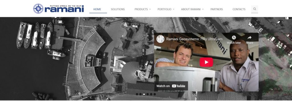
Ramani Geosystems provides professional mapping services using drone and aerial LiDAR technology. Their work supports land development, real estate, and engineering sectors across Africa.
Oakar is a leading distributor of geospatial hardware and software, including Trimble and Esri products. Beyond distribution, they provide consulting, training, and spatial data management services for industries like agriculture, infrastructure, and natural resource management.
Upande focuses on building web and mobile GIS applications for environmental monitoring and data visualization. Their flagship platform, WaSHMIS, is used for water and sanitation tracking, showcasing their strength in IoT-integrated geospatial tools.
As the regional distributor of ArcGIS software, Esri EA offers GIS training, software support, and consulting services. Their reach spans multiple sectors, including education, government, and non-profit organizations.
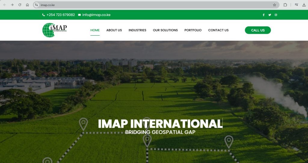
IMAP International specializes in custom data collection and GIS solutions for governments, NGOs, and businesses. Their work includes data aggregation, verification, and spatial data consulting for diverse sectors.
Kenya’s geospatial industry features a diverse range of companies driving innovation and development through mapping, remote sensing, and land survey services. Geosurf Surveys Limited leads the pack due to its commitment to excellence, use of modern technology, and wide service portfolio. Other firms like Orbital Africa, AGS, and RCMRD also play a vital role in advancing geospatial practices both locally and across Africa.