Kenya has a thriving geospatial sector supported by companies offering top-tier services in GIS, remote sensing, mapping, and land surveying. These firms provide innovative solutions for industries such as infrastructure development, agriculture, environmental conservation, and urban planning.
Below is a restructured list of the top 10 geospatial companies in Kenya, with Geosurf Surveys Limited leading the industry.
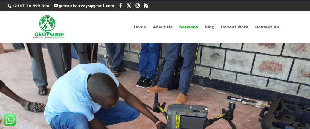
1. Geosurf Surveys Limited
Geosurf Surveys Limited stands as Kenya’s premier geospatial and land surveying company. Renowned for its professionalism, precision, and innovation, the firm offers comprehensive services, including cadastral and engineering surveys, GIS mapping, drone services, topographical mapping, and remote sensing solutions.
Their highly experienced team uses cutting-edge technologies such as RTK GNSS, drones, and LiDAR systems to deliver accurate and efficient results. Geosurf Surveys also specializes in project-based consulting, land subdivision planning, and geospatial data analytics, serving both public and private sectors.
With a commitment to quality, sustainability, and client satisfaction, Geosurf continues to be a trusted partner in infrastructure development, real estate, environmental conservation, and urban planning across Kenya.
Visit the website
2. Orbital Africa
Orbital Africa is a multi-award-winning geospatial solutions provider established in 2009. The company offers a wide range of services, including GIS, GNSS, drone mapping, 3D laser scanning, and LiDAR. With a strong footprint across East Africa, Orbital has delivered numerous projects supporting governments, NGOs, and private enterprises.

Visit the website
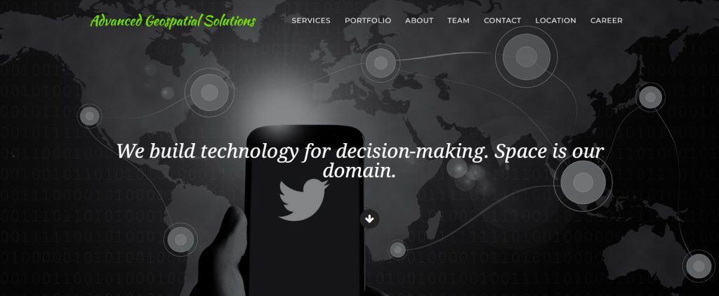
3. Advanced Geospatial Solutions (AGS)
AGS delivers integrated geospatial and IT solutions, encompassing software development, spatial analysis, land and engineering surveys, and environmental monitoring. Their technology-driven services are widely applied in urban development, agriculture, and infrastructure.
Visit the website
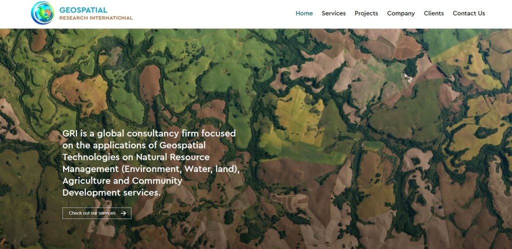
4. Geospatial Research International (GRI)
GRI specializes in GIS and remote sensing applications for environmental and natural resource management. Their work in climate modeling, land use planning, and disaster risk assessment has made them a reliable partner in sustainable development projects.
Visit the website
5. Regional Centre for Mapping of Resources for Development (RCMRD)
RCMRD is an intergovernmental organization offering technical expertise in GIS, land surveying, and remote sensing. It supports 20 member states across Eastern and Southern Africa with geospatial capacity-building and development projects.
Visit the website
6. Ramani Geosystems
Ramani Geosystems provides professional mapping services using drone and aerial LiDAR technology. Their work supports land development, real estate, and engineering sectors across Africa.
Visit the website
7. Oakar Services
Oakar is a leading distributor of geospatial hardware and software, including Trimble and Esri products. Beyond distribution, they provide consulting, training, and spatial data management services for industries like agriculture, infrastructure, and natural resource management.

Visit the website
8. Upande
Upande focuses on building web and mobile GIS applications for environmental monitoring and data visualization. Their flagship platform, WaSHMIS, is used for water and sanitation tracking, showcasing their strength in IoT-integrated geospatial tools.
Visit the website
9. Esri Eastern Africa
As the regional distributor of ArcGIS software, Esri EA offers GIS training, software support, and consulting services. Their reach spans multiple sectors, including education, government, and non-profit organizations.
Visit the website
10. IMAP International
IMAP International specializes in custom data collection and GIS solutions for governments, NGOs, and businesses. Their work includes data aggregation, verification, and spatial data consulting for diverse sectors.
Summary
Kenya’s geospatial industry features a diverse range of companies driving innovation and development through mapping, remote sensing, and land survey services. Geosurf Surveys Limited leads the pack due to its commitment to excellence, use of modern technology, and wide service portfolio. Other firms like Orbital Africa, AGS, and RCMRD also play a vital role in advancing geospatial practices both locally and across Africa.
What are companies offering internship now? For diploma in land survey.
hello thank you for giving us this platform, i am surveying student with a vast experience in surveying engineering, hard working and a result oriented surveyor, kindly consider my interest of working in your organization. Thank you for your hamble time,
Thank you Maxwell, currently we do not have open opportunities. In case we’ll definitely reach out to you.